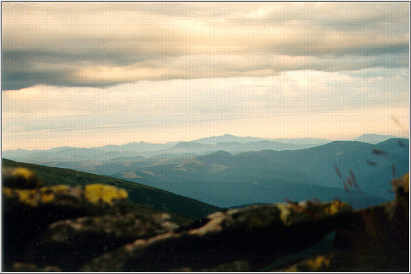
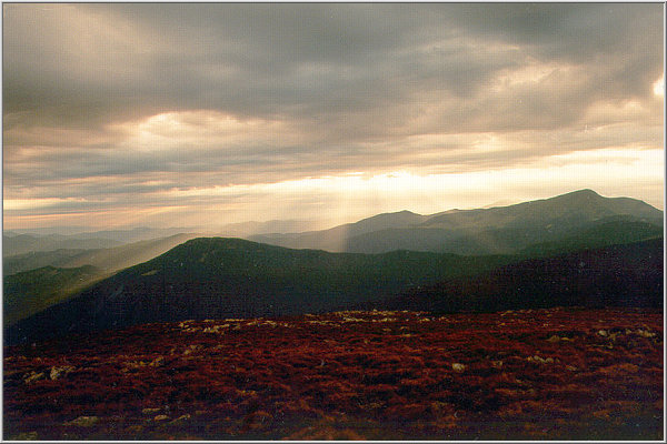
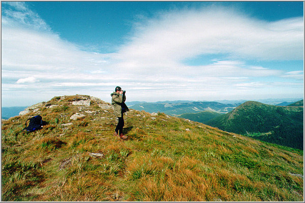
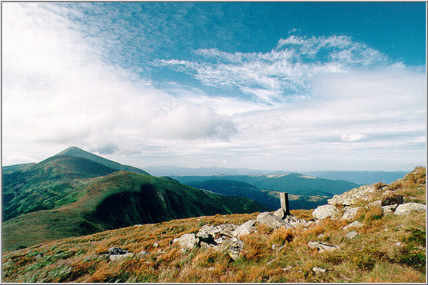
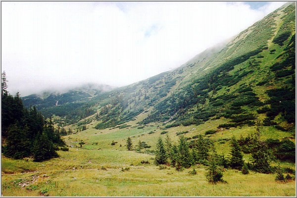
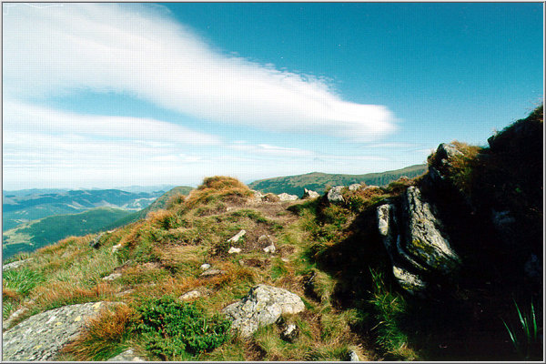
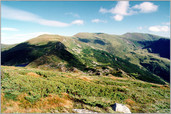
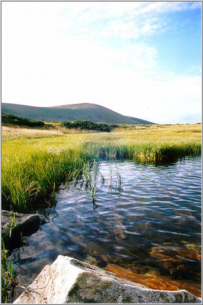
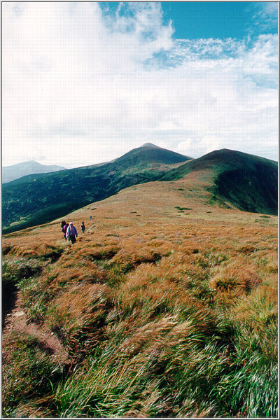
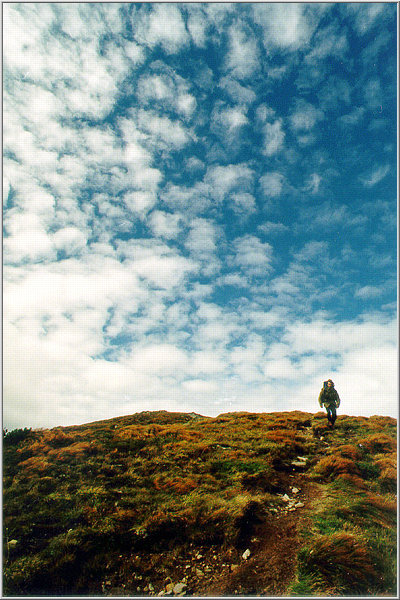
There is a habit in Western Ukraine: Every year on August 24, the Ukraine's Independence Day, lot of people are climbing onto the Hoverla Mount, 2064 -- the highest point of Ukraine and the unofficial symbol of Ukrainian freedom. This year (1998) we decided to join this crowd and come through the whole Chornohora Ridge between Hoverla Mount, Mount Turkul, Mount Dzembronia and Mount Chornohora (also called "Pip Ivan" here).
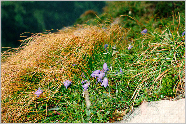
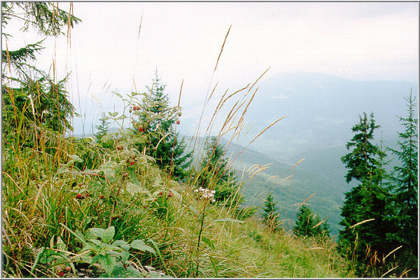
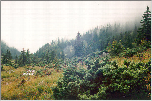
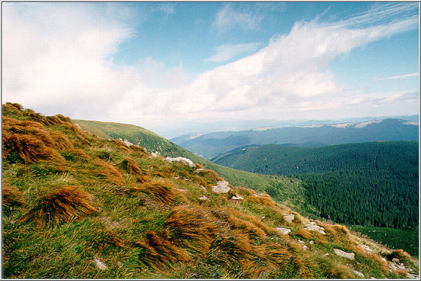
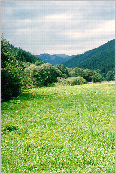
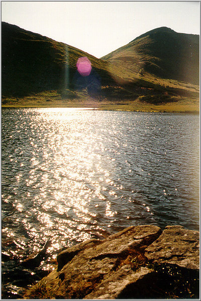
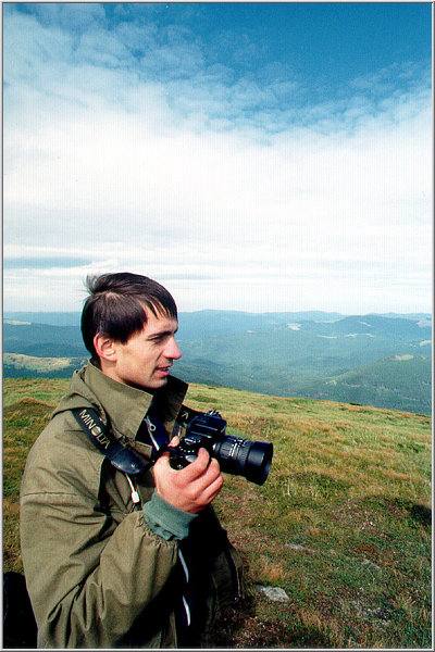
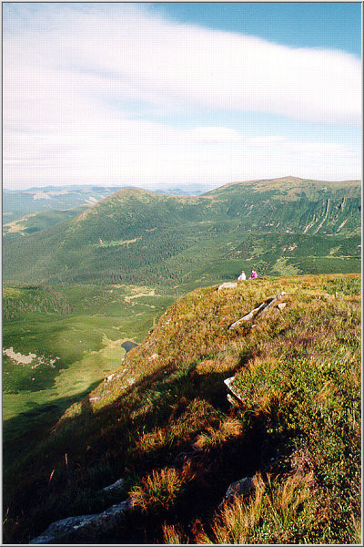
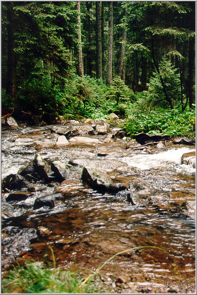
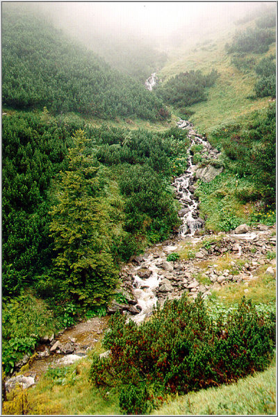
Below are some of our pictures from this trip (read status bar for the picture caption).


The History of the region is very interesting as well...
This region at Hoverla and that part of Prut river:
Before I. W.W : This region was a part of Galicia. Galicia was an independent region of the Austro-Hungarian Federal Monarchy. Galicia was consisted of todays' Ternopol county, Stanislav county, Lvov county, and the south-eastern part of todays' Poland- including Krakow.So, this region was a part of Austro-Hungarian monarchy with Ukrainan, Polish (and rel. significant Jewish) population.
Other parts of this monarchy (or Empire) was old Hungary (which included Slovakia, Transcarpathia, Transylvania and Vojvodina in Yugoslavia too). Furthermore, Croatia, Slovenia, the Czech territories, Austria and Northern Italy was also part of the Austro-Hungarian Emp.- from centuries in the past. It is worth to see the old railway stations built that time all throughout this region of Europe: they are almost the same from Western Ukraine to North Eastern-Italy. Most of these regions were relatively independent with political parties and relative democracy and relative freedom and very well developed common market-economy , like todays European Union, but of course with the conservative characteristics of that time.
After WW.I: All Galicia became part of Poland.
After WW II: Eastern part of former Galicia became part of USSR: (Belorus and Ukraine).
Transcarpathia:
Before WW I: Transcarpathia was a part of Hungary (which was a part of the Austro-Hungarian Empire),and that part of Bukovina near Hoverla was most probably Romanian.
In 1918 Hungary became a totally independent federal state, and Transcarpathia became an autonomous region of it called Ruthenia. However, in 1920 after the peace agreement in Paris- Trianon (France) Hungary lost 2/3 of its territory including Transcarpathia-Ruthenia.
Transcarpathia belonged to Czechoslovakia between WW I and WW II called as Podkarpatske Rus, and on the other side Bukovina remained Romanian territory. (The Romanians wanted to get Transcarpathia too, but they got Transsylvania and Moldavia instead). In 1939 after the Wienna Peace Pact Slovakia became independent from Czechoslovakia and Transcarpathia became a part of Hungary again. After WW II, in 1945, Transcarpathia became a part of USSR together with the other part of Bukovina too.
It is a very interesting region with a beautiful mixture of Ukrainan-Ruthenian-Hucul(Hutsul?)-Romanian-Hungarian-Polish-Jewish-Gipsy-and even some German -and who knows what other kind of-folklore and culture.
OK. Here it is. Some more pictures are coming soon. Write me back your impressions and comments here oleg@uazone.net. I will be glad to hear from you.

Copyright © 1998 by UA Zone Group Intl.
This site is created by Oleg Baranovsky.
Pictures made by Oleg Baranovsky, Pavel Tishchenko and Volodymyr Onufrienko.
The histroy narrative courtesy of Arpado Loewey-George